Dholavira and its reservoirs
Dholavira, Khadir island, Kutch, Gujarat
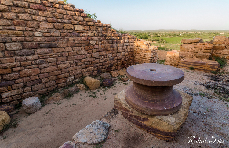
On an island in the Rann of Kutch, a walled Harappan city stores monsoon water in rock-cut reservoirs and leaves ten large signs by its north gate.
J. P. Joshi of the Archaeological Survey found the site in 1967-68, and R. S. Bisht excavated it in thirteen seasons between 1989 and 2005. Inside its walls lay a citadel, a middle town and a lower town, and around them a chain of reservoirs cut into the rock and fed by two seasonal streams, the Manhar and the Mansar: water engineering in one of the driest corners of the Harappan world. UNESCO dates the occupation to about 3000 to 1500 BCE; the range shown is the mature urban phase.
On the map it is what UNESCO calls the southern centre of the Harappan world, within reach of the Gulf of Kutch and the sea routes to Oman and Mesopotamia. Near the north gate lay a fallen signboard of ten signs cut from white gypsum, each about 37 cm tall: the largest signs known in the Indus script. Like every other Indus inscription, it is unread.
- state-formation
- science